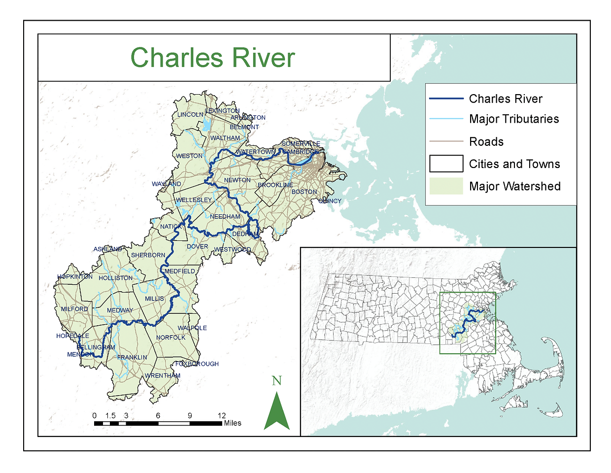
Map of the Charles River Watershed from the Massachusetts River Alliance
Charles River Watershed Context
The River is 80 miles long, flowing northeast from Hopkinton to Boston Harbor before meeting the Atlantic Ocean. | Source: Mass. Rivers Alliance
The Watershed encompasses 308 square miles of MA, including 35 cities and towns. This area is home to just under a million people. | Source: Charles River Watershed Association
Towns in the Charles River Watershed: Arlington, Ashland, Bellingham, Belmont, Boston, Brookline, Cambridge, Dedham, Dover, Foxbourgh, Franklin, Holliston, Hopedale, Hopkinton, Lexington, Lincoln, Medfield, Medway, Mendon, Milford, Millis, Natick, Needham, Newton, Norfolk, Sherborn, Somerville, Walpole, Waltham, Watertown, Wayland, Wellesley, Weston, Westwood, Wrentham
The River is fed by over 80 brooks and streams; the watershed includes 33 lakes and ponds, and 8,000 acres of protected wetlands. | Sources: Mass. Rivers Alliance & Charles River Watershed Association
Major Tributaries to the Charles River include: Muddy River, Stony Brook, Faneuil Brook, Tannery Brook, Laundry Brook, Village Brook | Sources: Mass. Rivers Alliance
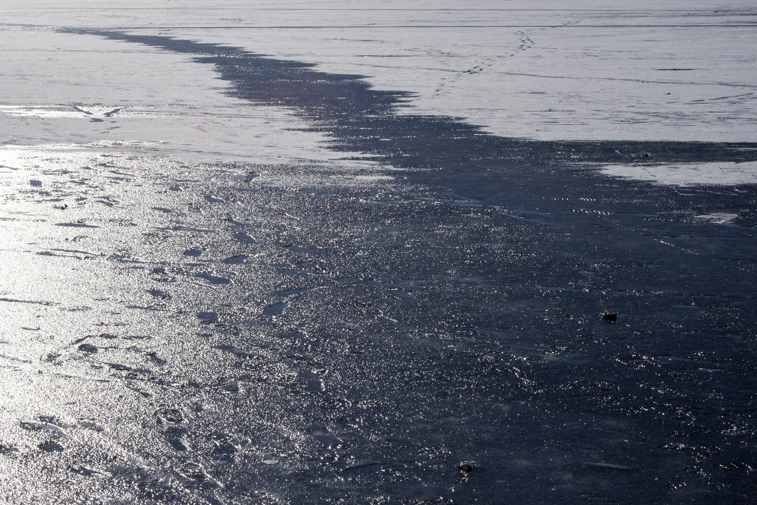
Lisa McCarty
“The waters and land surrounding the Quinobequin, meaning “meandering”, (Charles) River have been continually used and cared for by Pawtucket peoples and the Massachusett and Wampanoag tribal nations for generations prior to the arrival of colonizers.” | Source: Charles River Conservancy
Circa 1625 the first known colonizers arrive in what would become known as Boston and Cambridge. Colonizers renamed, dammed, and built mills on the River within 10 years. By the 1640’s, canal systems are developed which begin to reshape and divert the River. | Sources: Environmental Protection Agency & Charles River Conservancy
Until the late 18th century the River was a tidal river, its flow and water level was directly linked to the tides of the Atlantic Ocean. Hundreds of acres of salt marshes and mudflats surrounded the River at this time. Salt marshes store and filter water, protect the shoreline from erosion, and provide essential refuge and nursery habitat for fish and shellfish particularly. | Sources: National Ocean Service & Environmental Protection Agency
Starting in the late 18th century much of the salt marshes and mudflats surrounding the River were filled and built over for industrial, commercial, and residential uses. As a result, water filtration and connection to the tides is disrupted and pollution proliferates. Stretches of the river and remaining mudflats fill with sewage and industrial waste. | Sources: EPA & Charles River Conservancy
From 1963 until 2013 the general public is not permitted to swim in the River due to high levels of pollution. Beginning in 2013 swimming is permitted in select areas at select times, however the River sediment is still toxic. | Source: WBUR
The River and Watershed face myriad threats today from inadequate infrastructure and human-induced climate change, including: stormwater pollution and flooding, coastal flooding from sea-level rise, significant loss of habitats for plants and wildlife. Numerous neighborhoods, businesses, and public spaces in the Watershed are at risk for flooding. | Sources: City of Boston Climate Resilience Plan & Charles River Watershed Association
Of the ten books on the Charles River available at the Boston Public Library, there is only one book that is not related to tourism and that was also published in this century. | Source: Boston Public Library Catalog Search
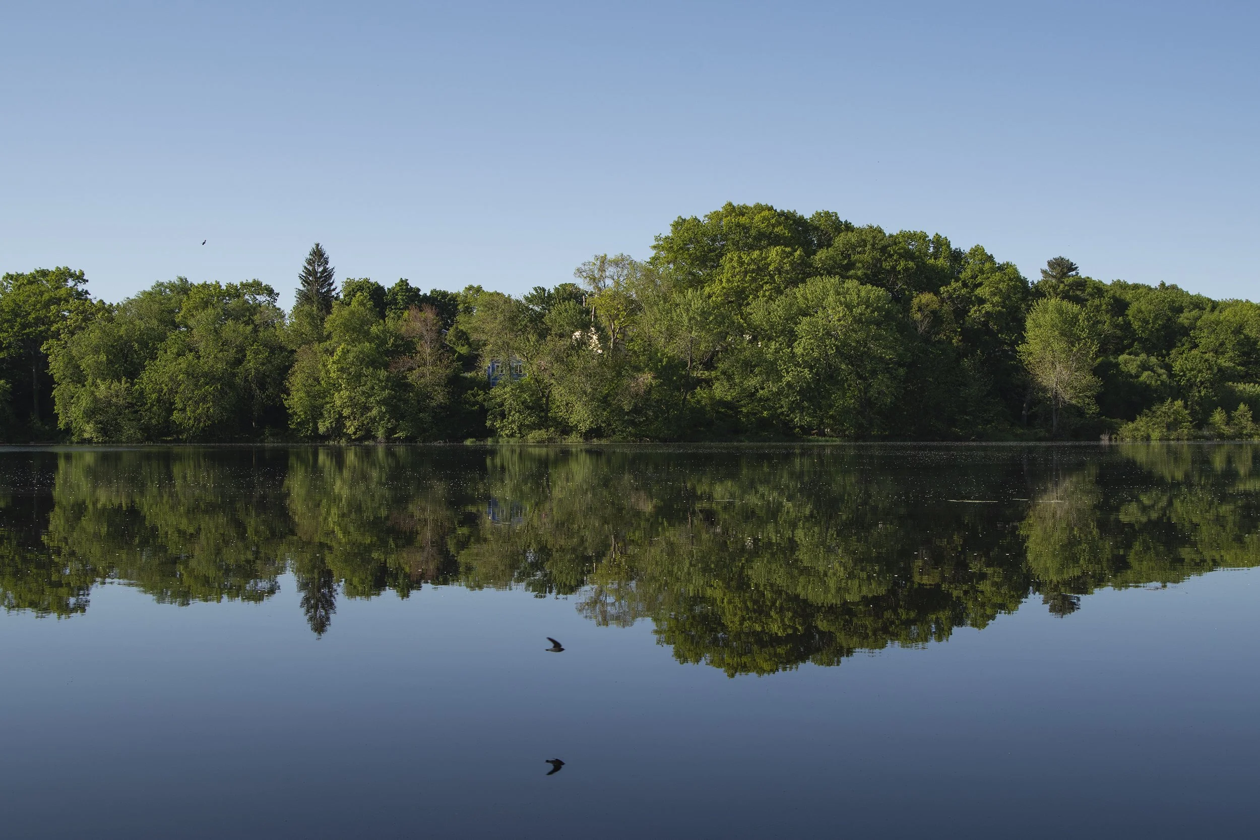
Lisa McCarty